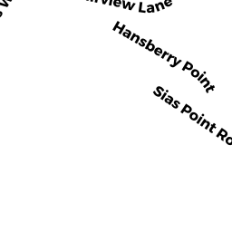
2 SIAS POINT RD
Owner Information
FILOSI NICOLE TRUSTEE OF TWO
7 COWDREY ST
STONEHAM, MA 02180


Property Details
2 SIAS POINT RD is classified as a Undevelopable Residential Land (Vacant land).
2 SIAS POINT RD is valued at $12,300. The land is valued at $12,300 and the structures are valued at $0.
This property is in Zone R43. Confirm with local Zoning Board authorities to ensure there are no overlays or other easements on this property.
The most recent deed for 2 SIAS POINT RD is recorded at the local registrar in Book 0470, Page 0102. 2 SIAS POINT RD was last sold on Tuesday, September 15, 1998 for $40,000.
Assessment data from fiscal year 2022.
Flood Data
This property is completely within the VE Zone (coastal flooding with wave action).
The base flood elevation for this flood zone is 18 feet.
This information is sourced from the FEMA National Flood Hazard Layer. See our full disclamer.
Broadband Internet Providers
| Provider | Type | Bandwidth (mbps) | |
|---|---|---|---|
| Verizon New England Inc. | DSL | 10 | 1 |
| Viasat Inc | Satellite | 35 | 3 |
| Comcast | Cable | 1000 | 35 |
| HughesNet | Satellite | 25 | 3 |
| VSAT Systems, LLC. | Satellite | 2 | 1 |
| GCI Communication Corp. | Satellite | 0 | 0 |
| Verizon New England Inc. | Fiber | 940 | 880 |
Broadband service provider data from December 2020.